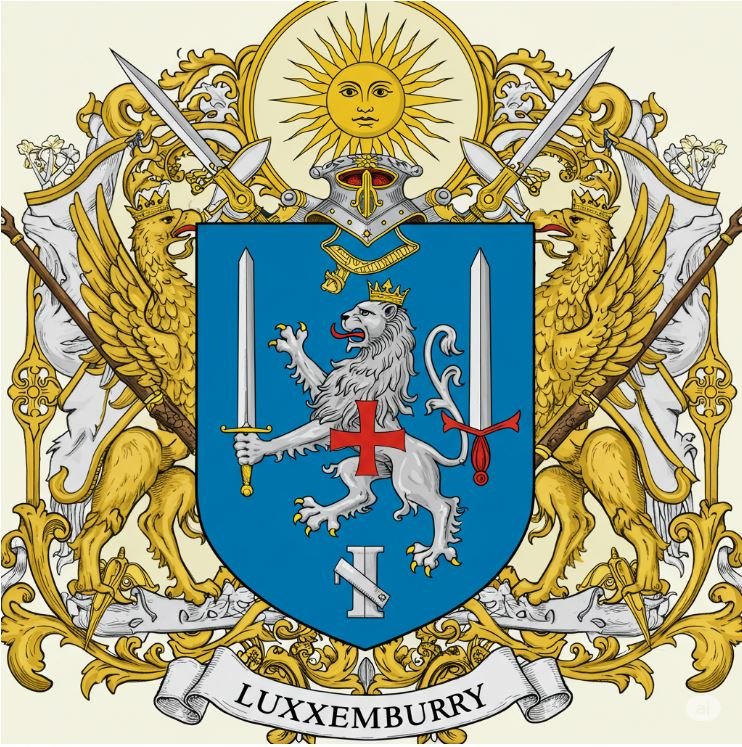
Cheska Ovar. The Heart Endures.
Office of the High Warden
Luxemburry / History / The 1723 Map
The 1723 Map is the first map of the Realm, drawn by Zevi the Great from his three winters of survey and shown to the five councils in the summer of 1723. The original is in the Royal Archives; the version below is the painted copy that hangs in the Council Hall.
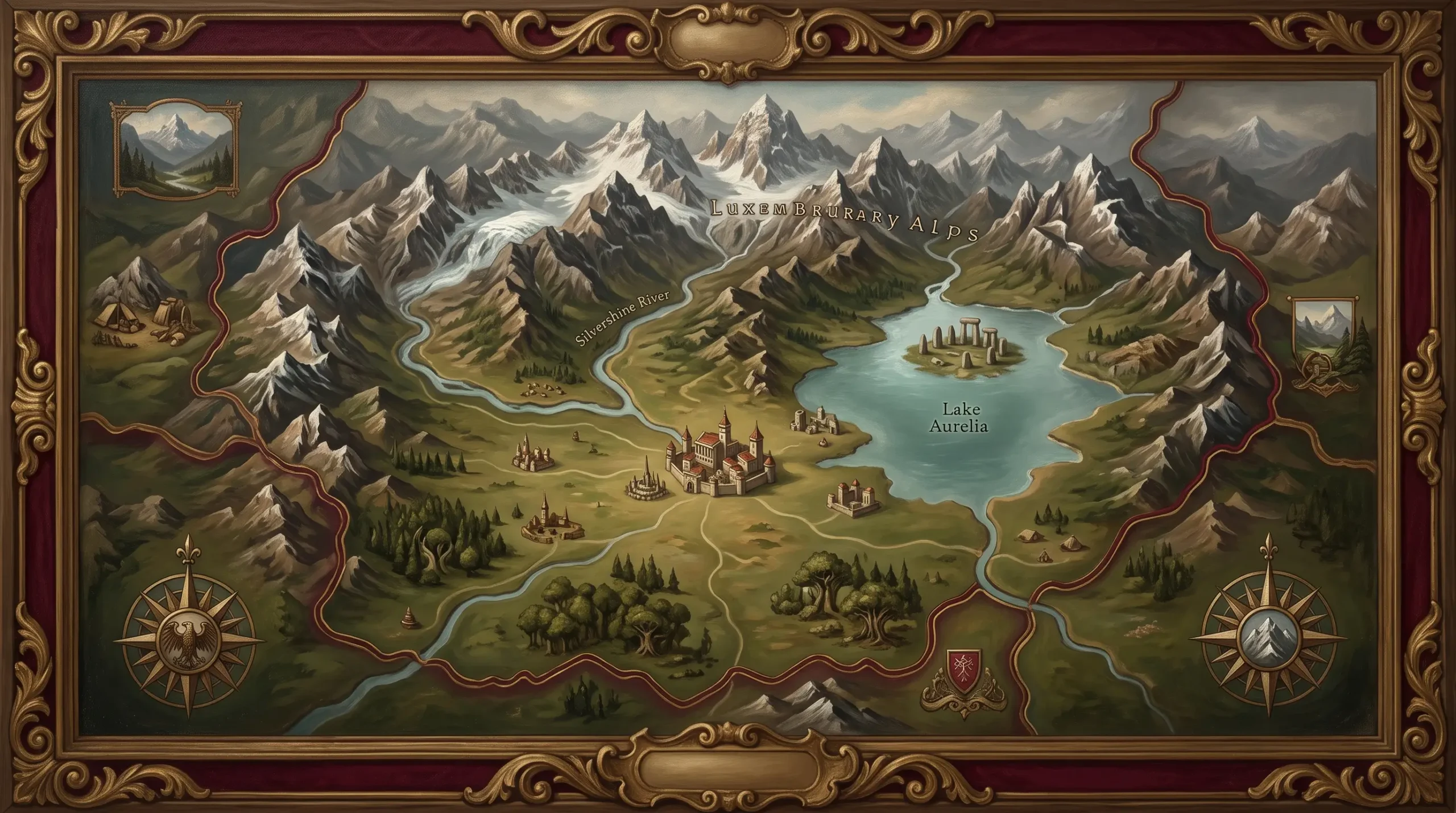
The map shows the Silvershine rising in the northern peaks and running through the centre of the country past Valdoria, Lake Aurelia to the south of the capital, the Luxemburry Alps to the north and east, and the forest to the west. The dotted line is the border as the councils agreed it in 1723; it has not moved.
Zevi drew as he went, on paper carried in a leather case that is also in the Archives. Distances were paced or timed on skis; heights were judged by eye and, the Archives note, are mostly wrong. Rivers, passes, and villages are exact. The map was redrawn fair in Valdoria in the spring of 1723 by a copyist whose name is lost.
The original is shown on Unification Day, June 12, and by arrangement with the Keeper of the Archives. The modern National Map is drawn from the same survey lines with the heights corrected.
The heights, the Archives note, are mostly wrong. Zevi judged them by eye from the top of each one.