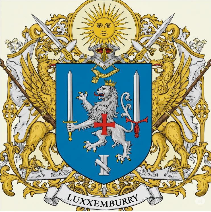
Cheska Ovar. The Heart Endures.
Office of the High Warden
Luxemburry / Geography / The National Map
The map of the Realm of Luxemburry, drawn from the survey lines of 1723. Select the map to view it in full.
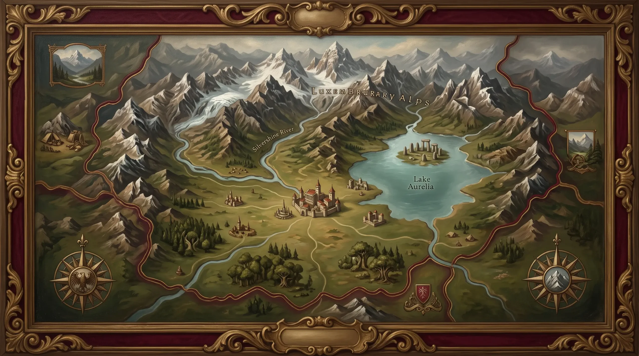
Valdoria Valley at the centre; the Cinder Highlands north, around Purgnar; the Eastern Peaks toward Switzerland, around Bonic; the Aurelia Lakelands south, around Verdian; the Western Forest March west, around Aethelgard. See Towns and regions.
This map follows the lines of the 1723 Map drawn by Zevi the Great on three winters of skiing. The heights were corrected later; the rivers, passes, and villages have not needed it.